About GPS Heatmaps
With the rise of GPS-activity trackers, runners, cyclists and quantified-self enthusiasts now have a wealth of data available to themselves. These tools can give you fantastic insights into your training performance, but sometimes you just want to look at a pretty map of where you've been. And that's where GPS Heatmaps comes in.
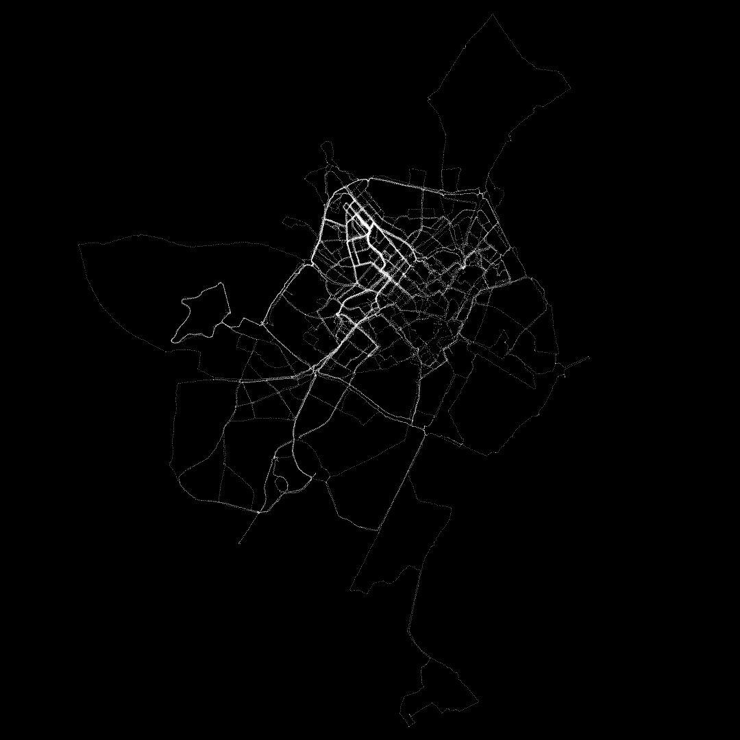
GPS Heatmaps is a tool for turning your GPX or TCX activity files into visual maps. GPX is an industry-standard format for sharing your activity data, and there are tools available to export from most services to GPX. GPS Heatmaps creates beautiful point-maps of your data, with nothing to distract or detract from the raw data. Roads become visible only as you run them, landmarks and common paths glow white-hot with continued use.
More images created by our users can be found on our Twitter account, @GPSHeatmaps.
This tool is currently in an alpha state and as such may not work in all browsers. If you encounter a bug, or wish to make a feature request, please email the creator at . GPS Heatmaps is made available for free and is supported by the donations you make. If you've found the tool useful, please consider donating.
Roadmap
- Adding legends and scales to maps
- Overlay heatmaps on Google Maps
- Better selection tools for highlighting activities
- Add support for importing data from online services (Nike+, Strava etc)
- More map options such as colours, sizes, etc
About the Author
GPS Heatmaps was developed by Luke Lanchester after trying and failing to find a way to visualise his running habits. Luke is a software developer by trade, but enjoys taking a break from the keyboard every now and then to pound the pavements and explore the city.
If you want to have a chat with Luke, his email address is .